Powerful Storm Will Dump More Than A Foot of Snow on Parts of Minnesota This Week
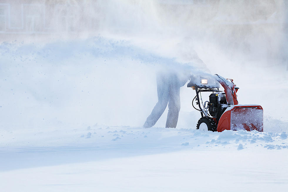
Most Minnesotans were hoping Mother Nature's cruel April Fool's joke would be the last snowfall of the season. Snowfall totals reported in southern Minnesota show that Woodbury led the way with 12-inches of snow falling Friday night into Saturday morning.
Unfortunately, another storm is going to hit parts of Minnesota and could pack a big punch. The National Weather Service says the "powerful late season winter storm will hit Tuesday through Thursday morning." Check out the map below to see which areas of the state will get the most snow.

The National Weather Service says "difficult to impossible travel is expected due to heavy snow and strong winds" with this storm and warns that there will be "considerable disruption to daily life."
Power outages and road closures are also possible with this extreme storm.
The heaviest snow will move in from North Dakota. The maps below show what people in north, central, and southern Minnesota can expect this week.
The NWS is describing this late season storm with words like "major" and "extreme" and warns blizzard conditions will last 18 or more hours in the NW corner of the state and will create a lot of issues for area residents.
Central Minnesota could get some snow too, but not nearly as much.
The National Weather Service office in the Twin Cities says 3-4 inches of snow could be possible across the central portion of the state, but does warn that high winds could create blizzard conditions.
The southern section of the state should be mostly snow free, but there is the threat of severe weather. At this time, it looks like the chance of severe thunderstorms in southern Minnesota is low, but forecasts are subject to change.
The National Weather Service in La Crosse shared the graphic below which outlines the risk for severe weather. They say the "greatest risk area still could shift slightly north or south depending on how far the warmer, more humid air reaches."
11 of the Most Devastating Weather Disasters in Minnesota Throughout The Years
More From 106.9 KROC-FM


