
Blizzard Conditions to Hit Parts of Minnesota Tuesday & Wednesday
Buckle up for the weather rollercoaster. It will be nice today, but Tuesday and Wednesday will be gross.
Much of Minnesota has been enjoying spring-like weather recently, but that will change when winter returns on Tuesday. The National Weather Service is monitoring this storm and provided an update this morning.

The National Weather Service (NWS) in La Crosse says we'll get rain to start on Tuesday, but it will change to snow when temperatures drop.

Don't be surprised to see a long list of school cancellations on Wednesday because this will be a nasty storm.
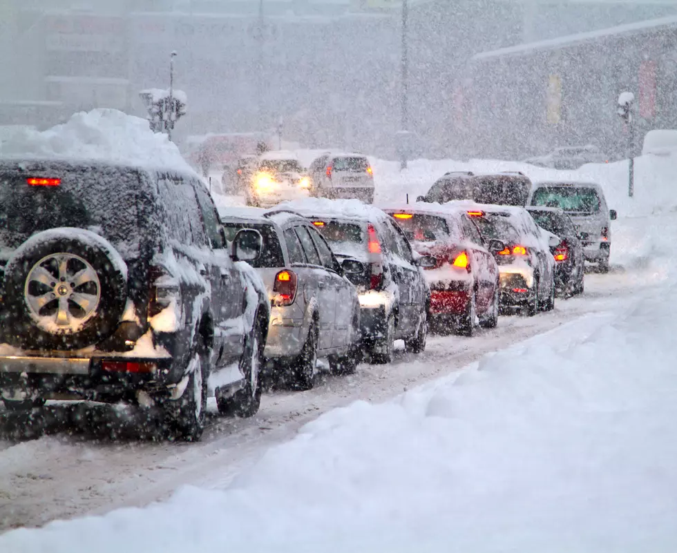
A strong system will move through, bringing blizzard-like conditions to areas in northeast Iowa, southeast Minnesota, and central, north-central, and west-central Wisconsin.
Winter Storm Watch in Effect from Tuesday Evening to Wednesday Afternoon
A Winter Storm Watch has been issued for parts of north-central and northeast Iowa, southeast Minnesota, and central, north-central, and west-central Wisconsin.
According to the NWS, “Whiteout conditions will be possible, making travel dangerous and potentially life-threatening. Expect hazardous road conditions.”
The heaviest snow (3-6 inches) is expected over northeast Iowa, southeast Minnesota, and areas north of Interstate 90 in Wisconsin. The Twin Cities area could get 3-4 inches, while parts of northern Minnesota, including Duluth, will deal with freezing rain and icy conditions.
The NWS is predicting wind gusts of 50+ mph which could bring down tree branches.
The blowing and drifting snow will create slick roads and poor visibility. Travel will be difficult and dangerous in some areas.
Snowiest Cities & Towns In Minnesota
Gallery Credit: Nick Cooper
More From 106.9 KROC-FM


