Did You Know A Former Minnesota College Student Created This Must-Have Travel App?
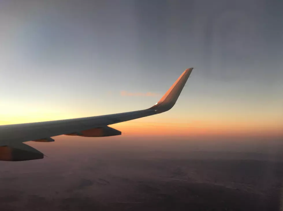
If you're anything like me, you've found yourself on a flight or two looking out of a plane window at the vast scenic expanse below, wondering where you are or what you're looking at.
Thanks to the inventive mind of a former University of Minnesota Duluth student, getting answers to those curiosities is a lot easier.
Back in 2016, Smithsonian.com shared the story of Shane Loeffler, a former UMD geology student, and the mind behind a really handy flight companion app called "Flyover Country".
Loeffler was on his way back to Minnesota from the United Kingdom, and found himself wondering about the landscape below him as he flew over glacial formations in Newfoundland and Quebec.
This wonder inspired the idea to create a guide to show airline passengers more information about what they are seeing below. Loeffler was able to bring his idea to life with the help of some other contributors like Amy Myrbo of the University of Minnesota (Twin Cities) and a grant from the National Science Foundation back in 2016.
READ MORE: I find this absolutely unbelievable for a major modern airline
Since hearing about this app all those years ago, I've kept it on my phone and used it many times on flights across the country and beyond. It's a really neat way to be able to identify towns, roadways, natural features, and so much more. It's not only a fun way to know what you're flying over, but also a handy way to see just how close to your destination you are. It even gives you altitude and flight speed!
As Smithsonian.com reports, the app uses a series of databases to deliver information about what's below. The app uses the phone's GPS, and doesn't require any other form of data connection in order to function while you're in the air. Before you depart, you'll be able to input your departure and destination airports and it will download the data for your flight so you can use the app without a data connection.

On the surface, this app is a handy way to see where you are in your flight or to identify what's below, but it also offers a lot of in-depth scientific information about what you're seeing below. Details like fossil finds or geological information about a mountain range or river add an educational benefit.
As the app's page mentions, you don't even necessarily need to be in the air to use the app. It can also be a handy companion app for road trips or hiking adventures.
The app is available on both Apple and Android devices via the Flyover Country app's website or by searching for Flyover Country on your app store. Even better? It's free! Grab it and give it a try on your next flight!
Minnesota Counties Bigger Than Entire States In The US
Gallery Credit: Nick Cooper - TSM Duluth
More From 106.9 KROC-FM


