
Why Monday’s Storms Didn’t Hit as Hard as Predicted in Minnesota
Much of Minnesota was on high alert Monday afternoon and evening, keeping a close eye on the sky and radar as severe weather started to move in.

For several days, meteorologists had been warning about the possibility of a major storm outbreak across the Upper Midwest. The forecast called for conditions that could be dangerous and possibly even deadly, with the threat of multiple tornadoes, large hail, and damaging winds.
Storm chasers from all across the country made their way to Minnesota, including well-known chaser Reed Timmer, who spent the day live-streaming in hopes of catching a tornado on camera.
Minnesota Storm Damage - April 28th, 2025
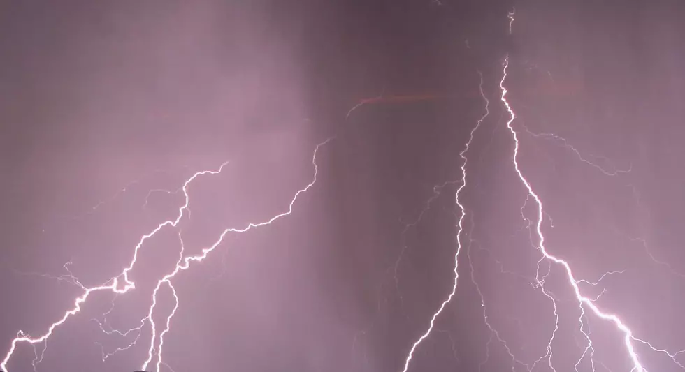
A tornado was spotted near Fairmont on Monday afternoon, residents reported quarter-size hail in southern Minnesota, and there were reports of tree and structural damage caused by wind.
Why Monday's Storms Didn’t Hit as Hard as Predicted in Minnesota
ABC News’ Chief Meteorologist and Climate Correspondent, Ginger Zee, flies all over the country covering weather events. She was broadcasting live from Albert Lea on Monday, but had a good feeling the storms wouldn't be as strong as originally forecasted from the moment she landed in Minneapolis.
According to Open Snow, cloud cover can prevent the atmosphere from destabilizing, which reduces the chance of or severity of thunderstorms. The lack of sunshine throughout the day on Monday prevented storms from growing bigger and stronger.
"Sunshine is actually a key driver when it comes to thunderstorm development. The reason is that heating of the lower levels of the atmosphere relative to the air above the surface is necessary for moist air parcels to rise vertically and condense into towering cumulus clouds – which can eventually develop into thunderstorms. This process is known as convection."
11 of the Most Devastating Weather Disasters in Minnesota Throughout The Years
Gallery Credit: Jessica Williams
More From 106.9 KROC-FM


